Squall lines, bow echoes and derechos
Organized linear convection, why bowing means damaging wind, and what actually qualifies as a derecho.
Supercells get the attention. Organized lines do most of the damage, over far more ground, and they are the convective mode most people actually experience.
They are also a different reading problem. A supercell is one object you interrogate in depth. A line is a system you read at scale — which means the useful view is the national mosaic, not a single site.
The squall line
A continuous or near-continuous line of thunderstorms, often tens to hundreds of miles long, usually along or ahead of a cold front. The structure is consistent:
- A narrow, intense leading edge — the convective line, where the updrafts are. This is the band of high reflectivity that arrives suddenly.
- A trailing stratiform region — broader, weaker returns behind the line, sometimes hundreds of miles deep, producing steady lighter rain long after the line passes.
- A gust front ahead of it — outflow racing ahead of the precipitation, often visible as a thin fine line of weak reflectivity several miles out.
That fine line is worth learning. It is the wind arriving before the rain, and it is visible only because radar detects things that are not precipitation — insects and dust lofted by the wind shift.
The bow echo
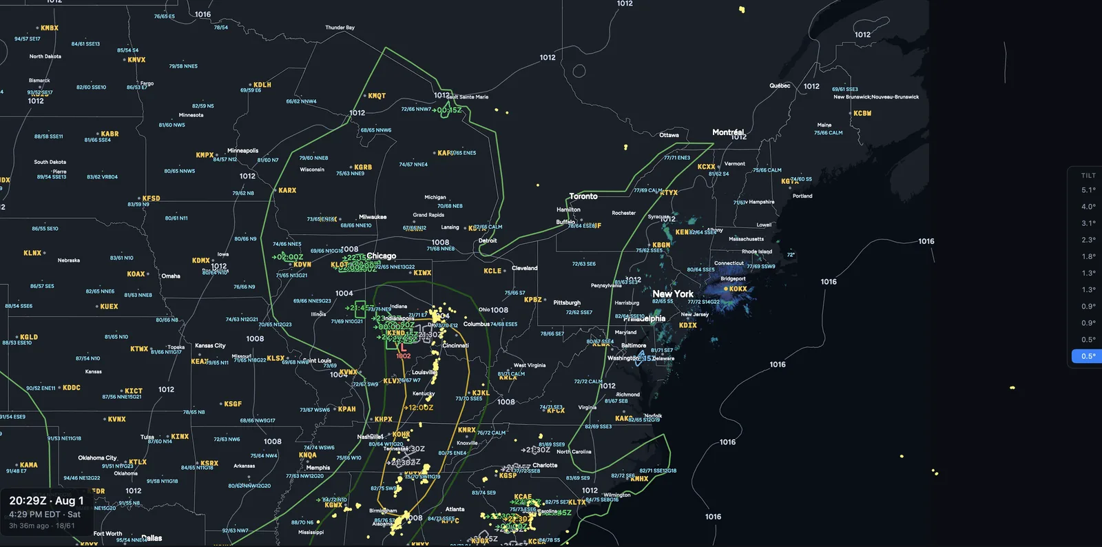
When a segment of the line accelerates and bulges forward, it forms a bow. This is the signature of damaging straight-line wind.
The mechanism is a rear-inflow jet: dry air entering the back of the system, cooling by evaporation, descending, and accelerating forward. When that momentum reaches the surface it spreads out, pushing the leading edge forward where the jet is strongest.
- The apex is where damage concentrates — the forward point of the bow sits under the strongest descending momentum.
- Bookend vortices form at either end of the bowing segment, rotating in opposite directions. In the northern hemisphere the northern one is typically stronger and longer-lived.
- The rear-inflow notch — a channel of weaker reflectivity cutting into the back of the bow, marking dry air descending into the system. A well-defined notch indicates the jet is established.
In velocity, strong outbound behind the leading edge means momentum is reaching the surface. This is where velocity earns its keep in a linear system: reflectivity tells you the line is there, velocity tells you how hard the wind behind it is.
QLCS tornadoes — different, and harder
Quasi-linear convective systems produce tornadoes, and they behave unlike supercell tornadoes in ways that matter:
- They spin up fast. Warning lead times are shorter, sometimes near zero.
- They are usually shallower and briefer, forming along the leading edge where circulations develop in the wind shift.
- They are often rain-wrapped and invisible from the ground.
- They frequently occur at night, which is a large part of why they are disproportionately deadly.
What is actually a derecho
The term spikes in search after every event and is frequently misapplied. It has a specific definition.
A derecho is a widespread, long-lived windstorm associated with a band of rapidly moving showers or thunderstorms. The operational criteria require a swath of wind damage extending more than about 400 miles, with a width of at least about 60 miles, comprising gusts of at least 58 mph along its length, with several well-separated gusts of 75 mph or greater — and the events must show temporal and spatial progression.
The distinguishing feature is not intensity at a point. It is sustained organization over distance. Plenty of severe wind events are more intense locally than a derecho. What makes a derecho is that it holds together for hundreds of miles.
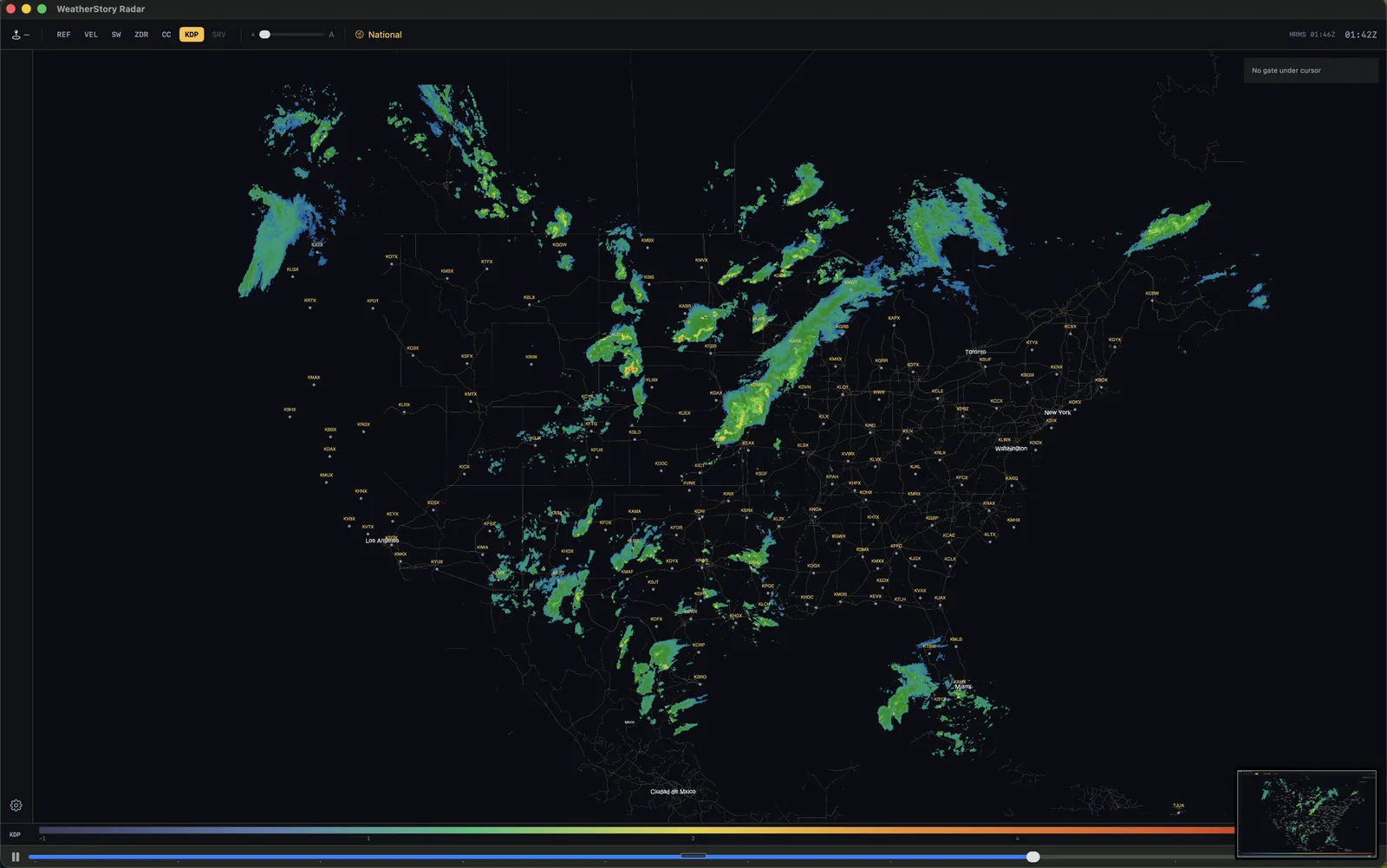
On radar it reads as a persistent bowing structure maintaining itself for hours while traversing multiple radar sites. No single radar covers one. This is the case where the national mosaic is not a convenience but the only adequate view.
Why long loops matter here
A supercell can be understood in twenty minutes of data. A mesoscale convective system cannot.
Whether a line is strengthening or weakening, whether the cold pool is racing ahead of the convection or staying beneath it, whether a bow is consolidating or falling apart — these are hours-long evolutions. Judging them from a short loop is guessing.
That is why loop depth is an analytical capability rather than a specification detail. A tool holding twenty frames shows you a moment; one holding thirteen hours shows you the system’s life.
Next: outlooks and forecast models — how these systems are anticipated before they exist.